DESCRIPTION
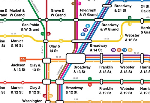
I designed a map showing the streetcar routes run by the Key System in the East Bay in 1941 during the height of the Key System. More history on the Key System and other East Bay streetcar operators can be found on the full map. To plot the routes, I utilized
this website created by Chris Arvin. Check it out if you are interested in the history of public transit in the Bay Area.
TYPEFACE
Neue Helvetica
